Aerial Survey
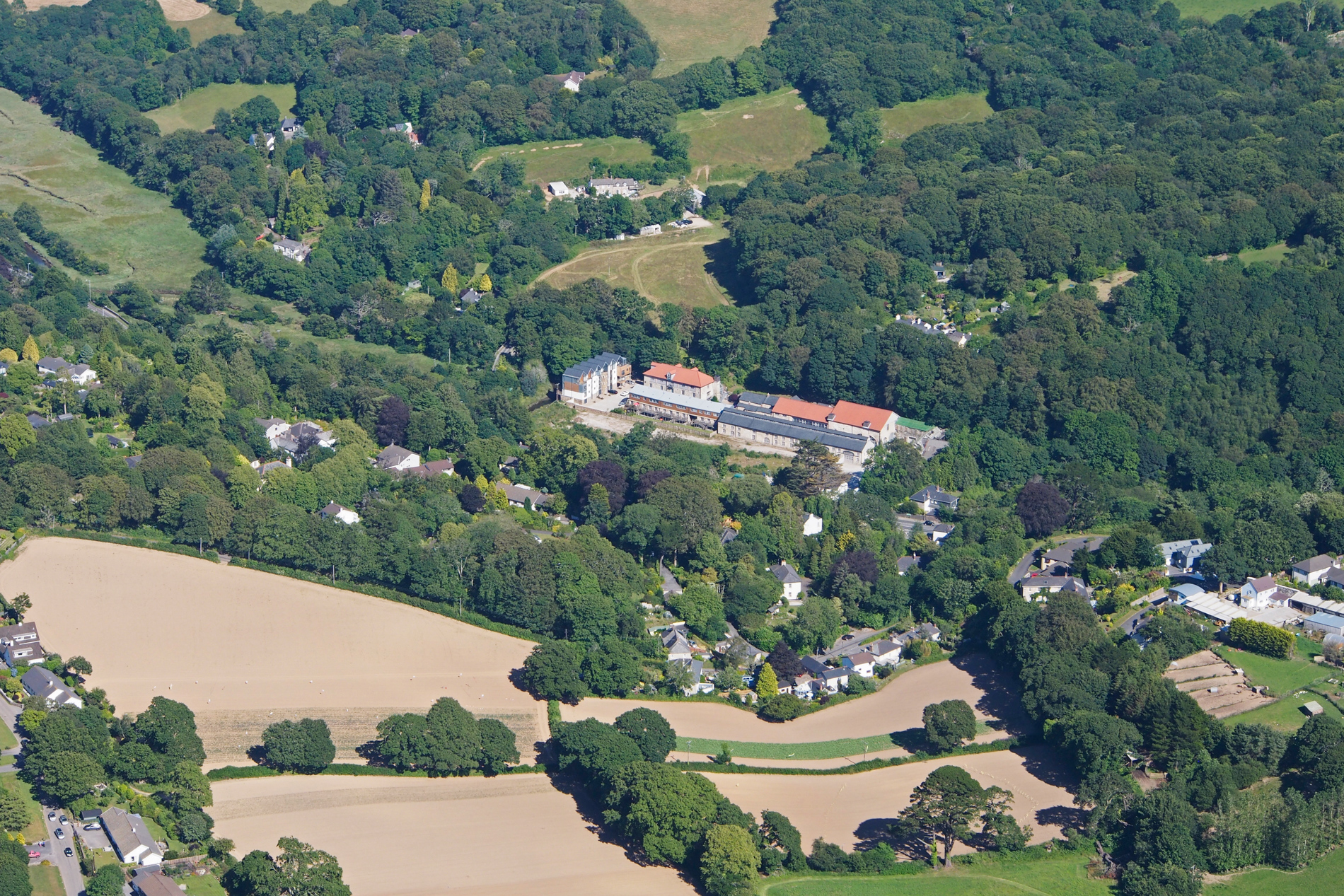
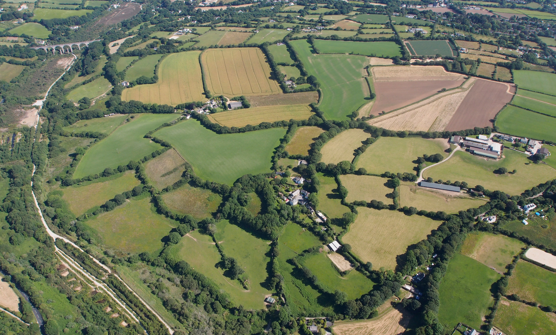
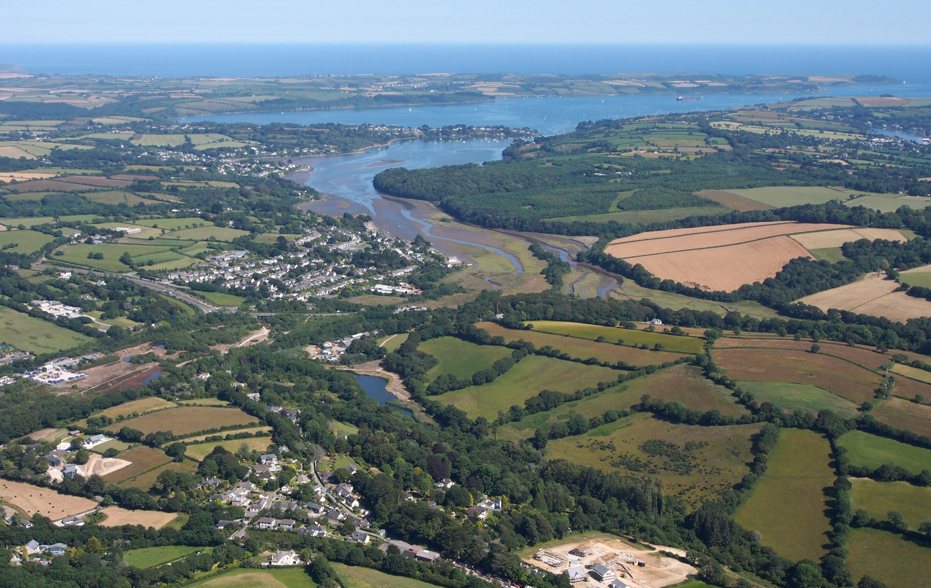
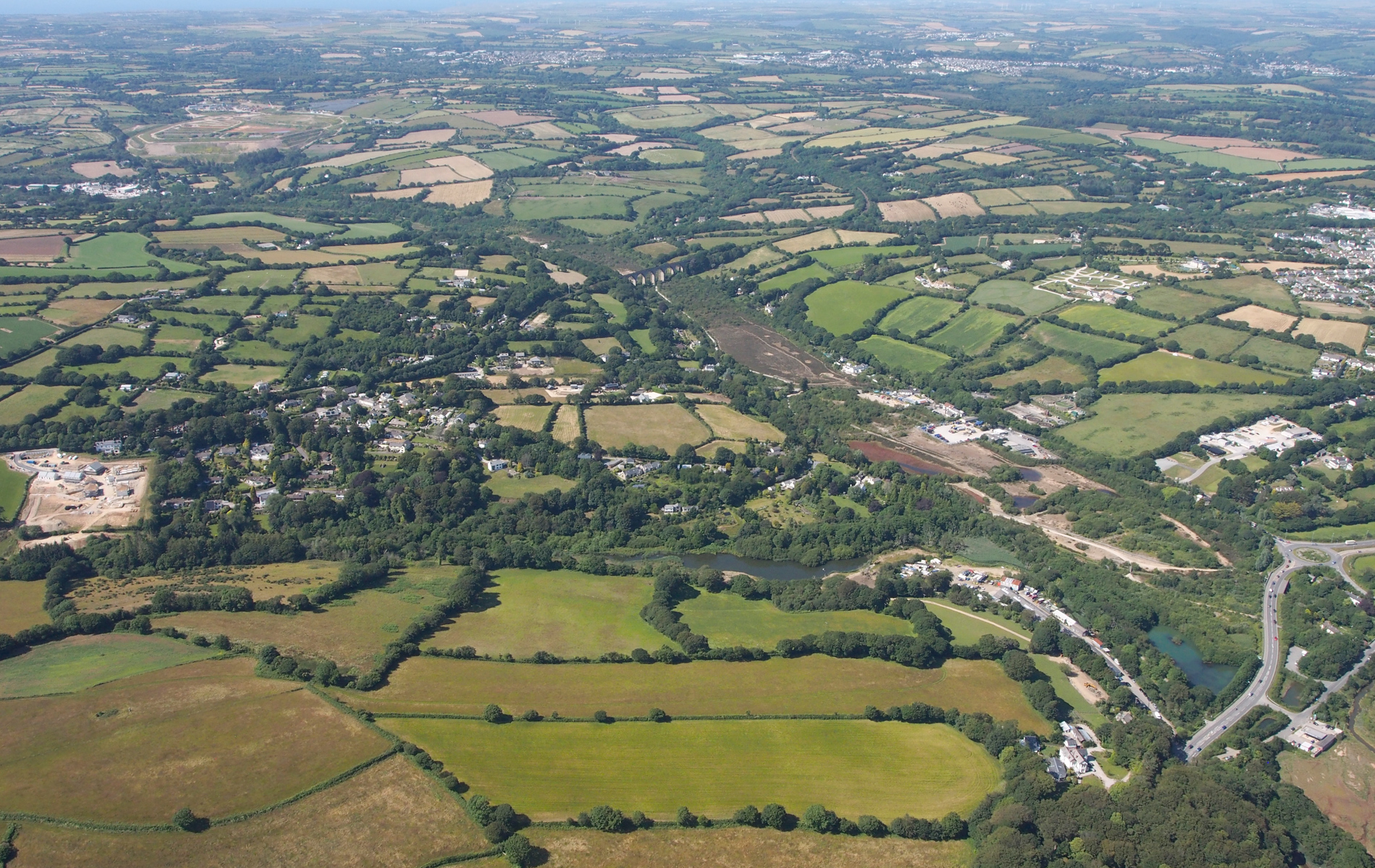
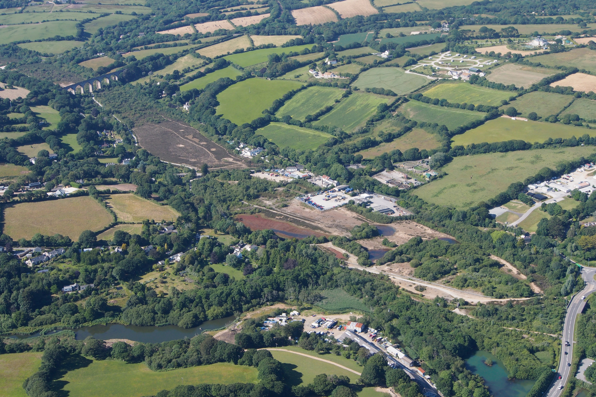
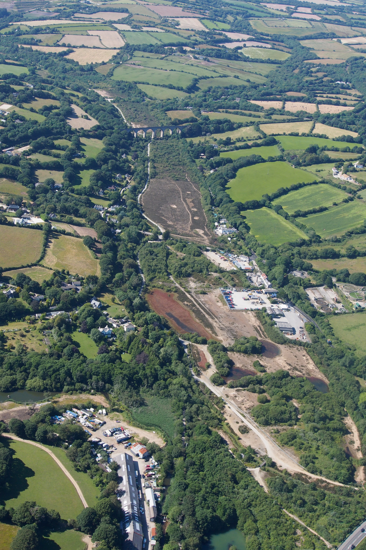
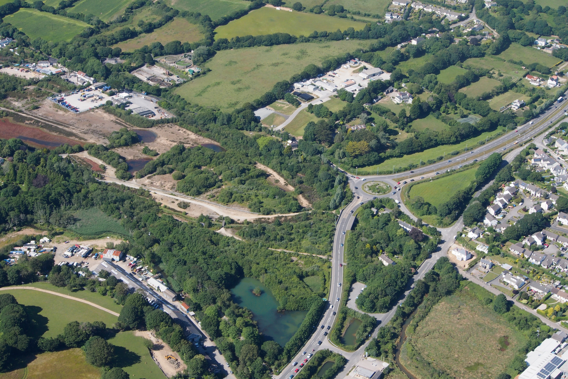
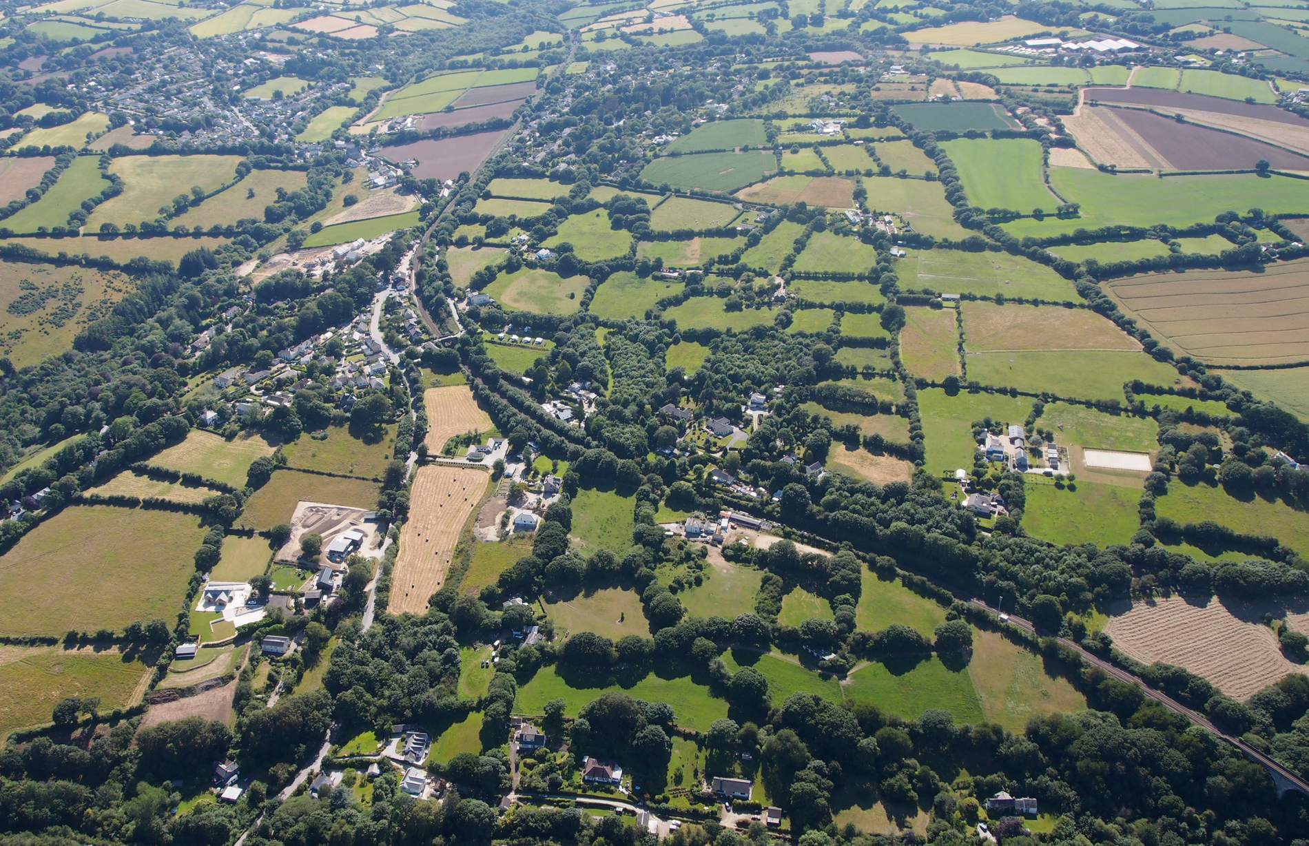
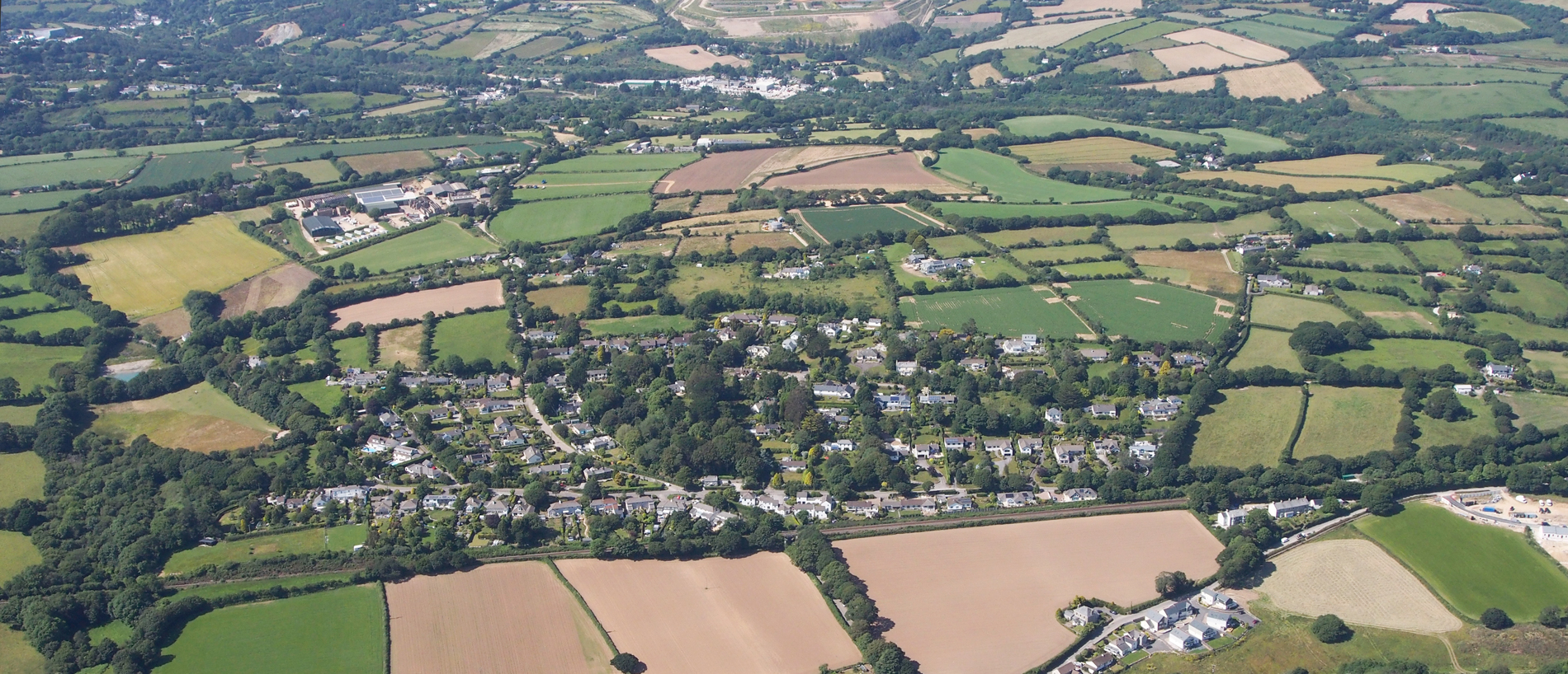
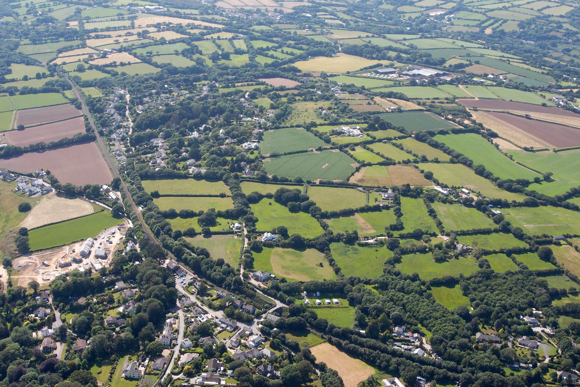
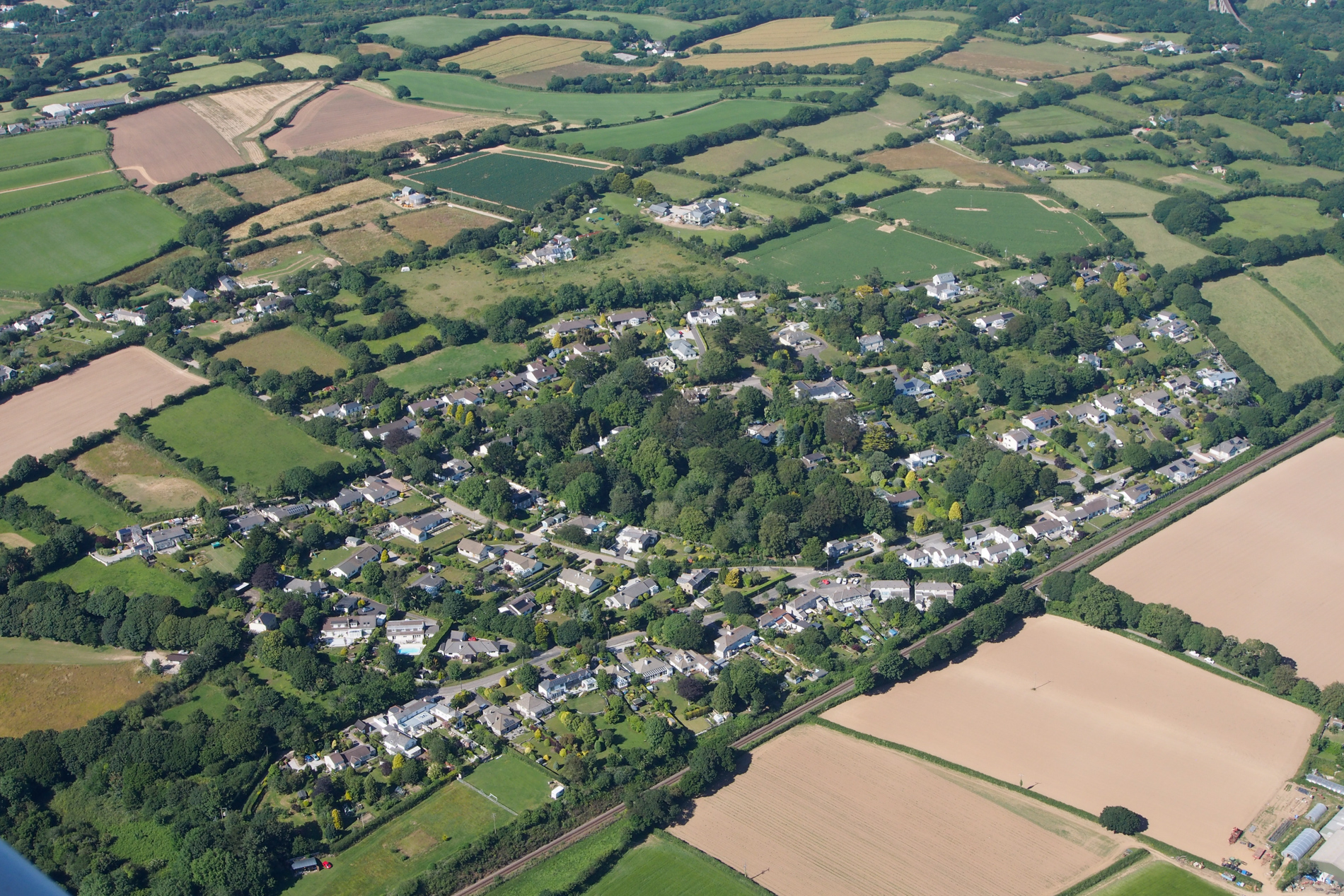
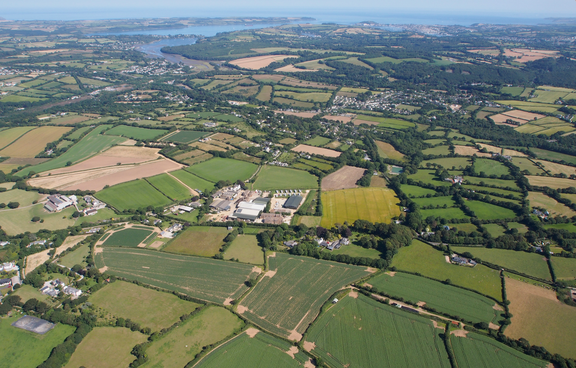
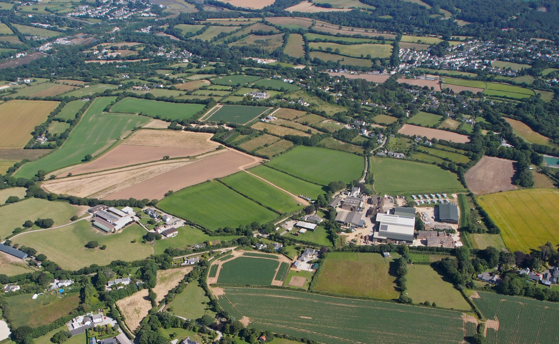
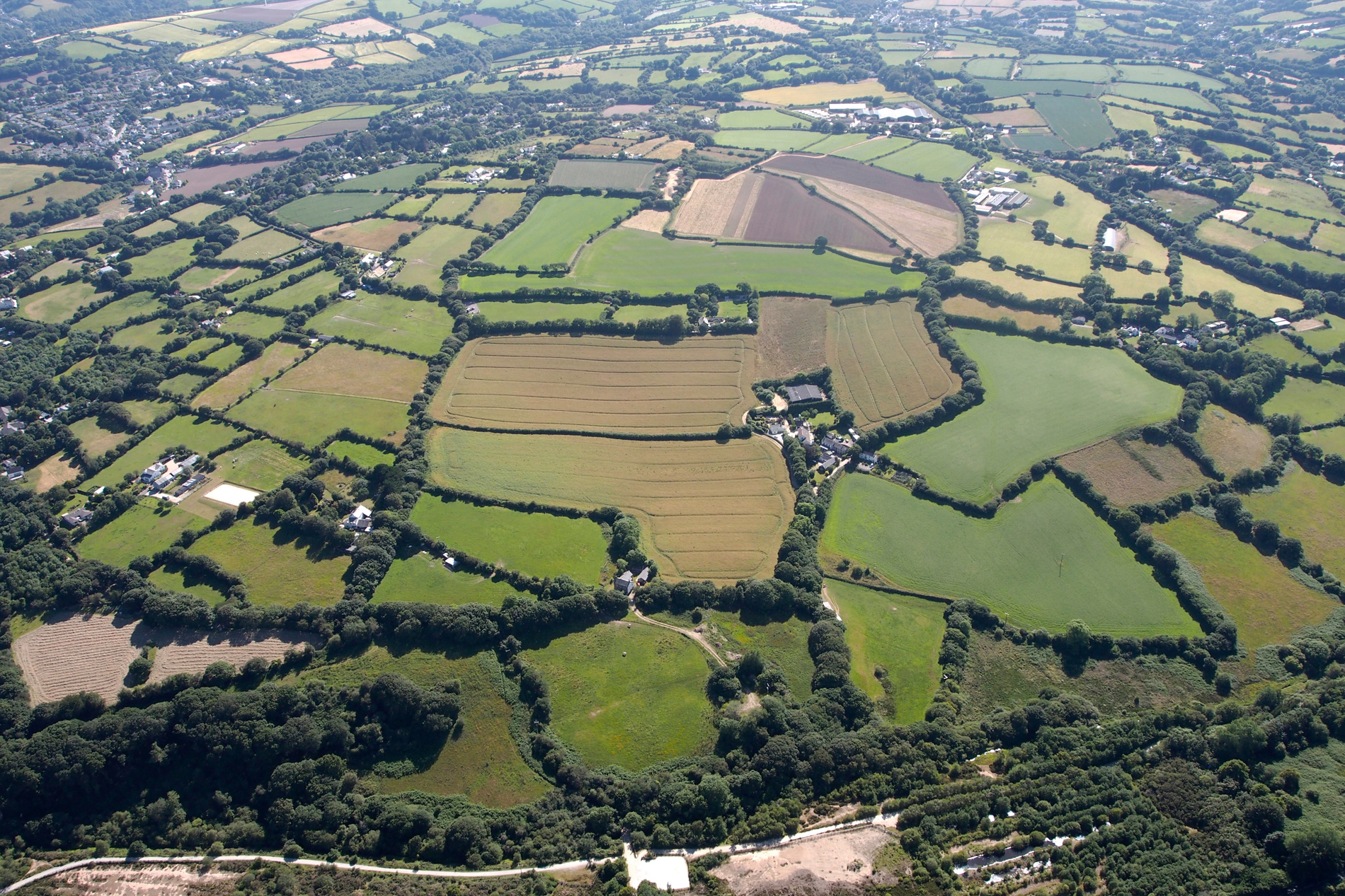
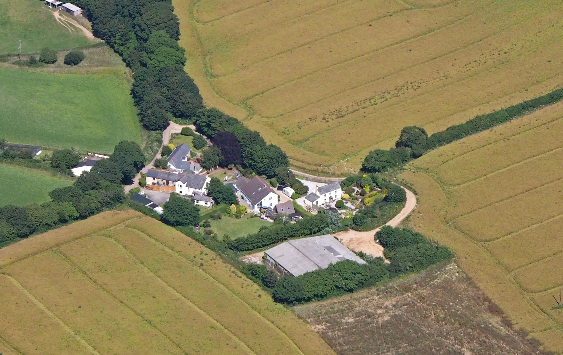
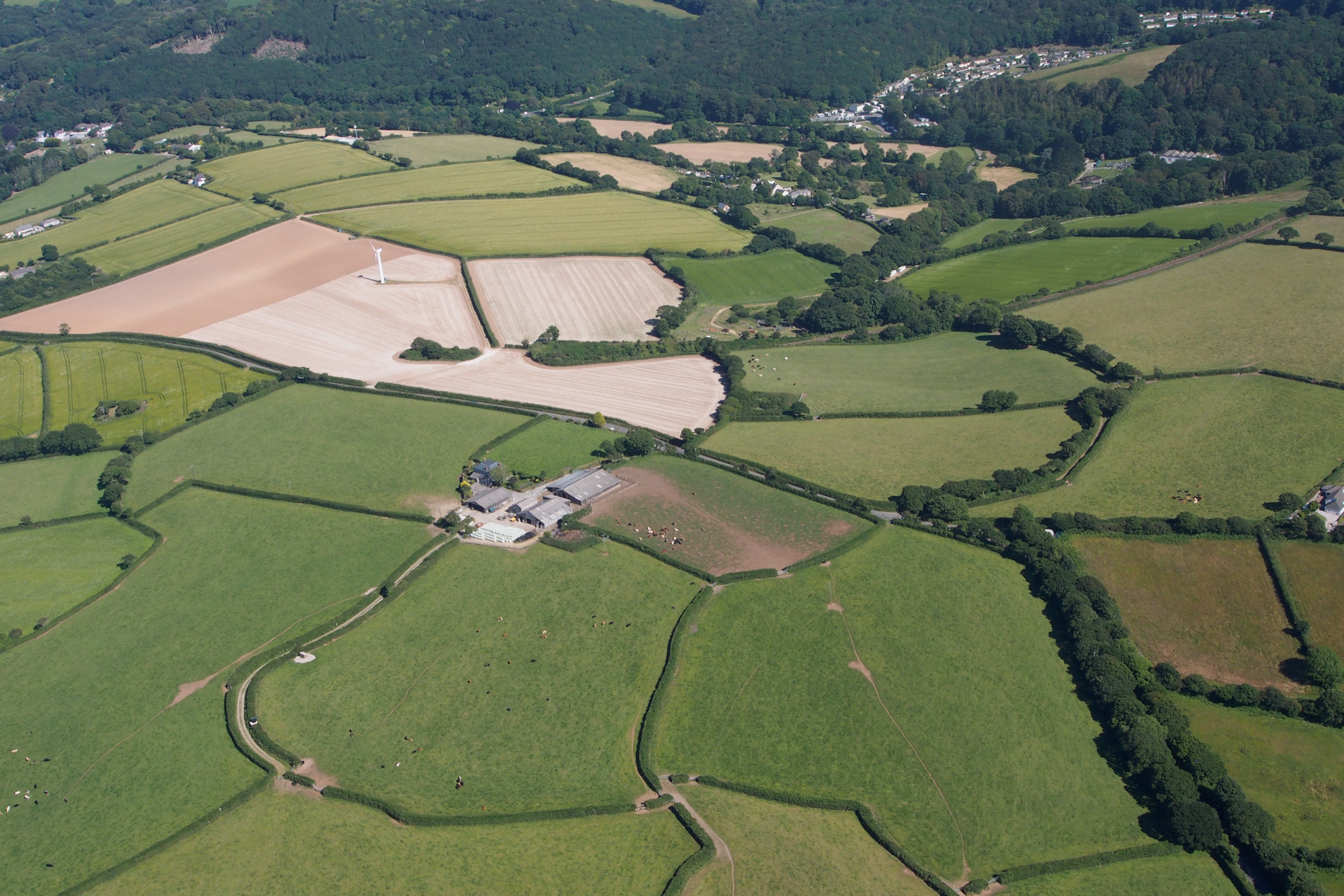
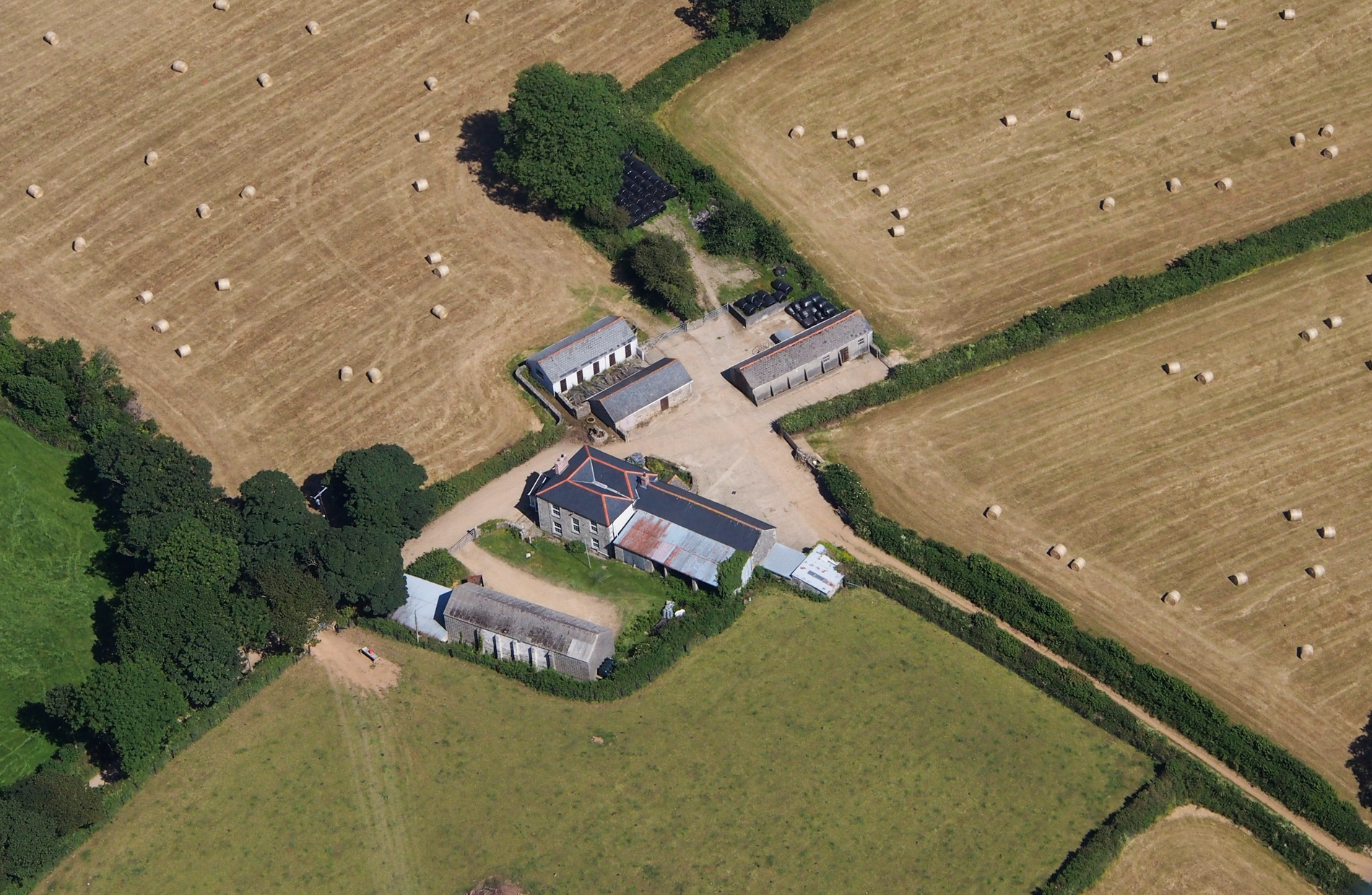
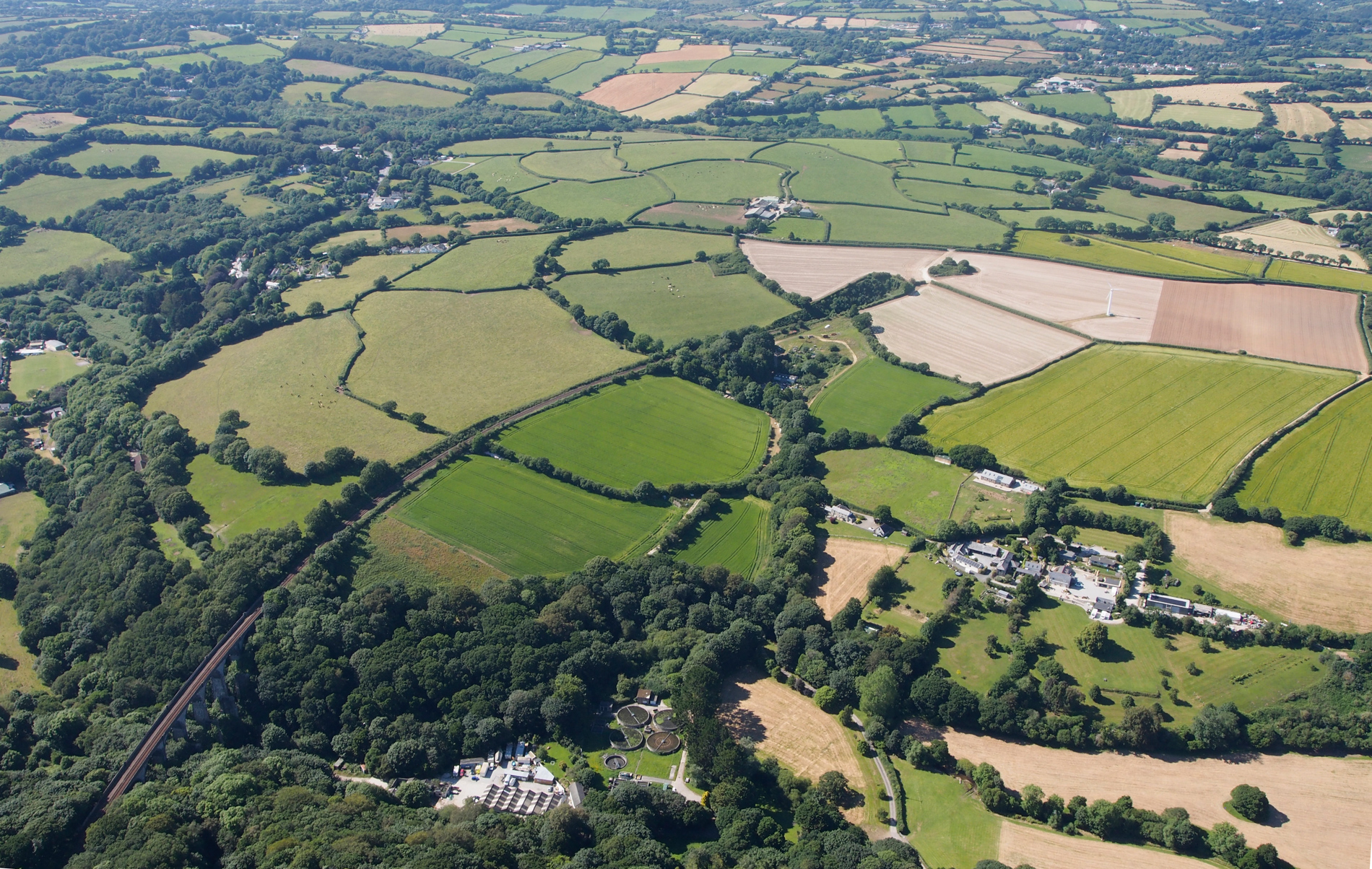
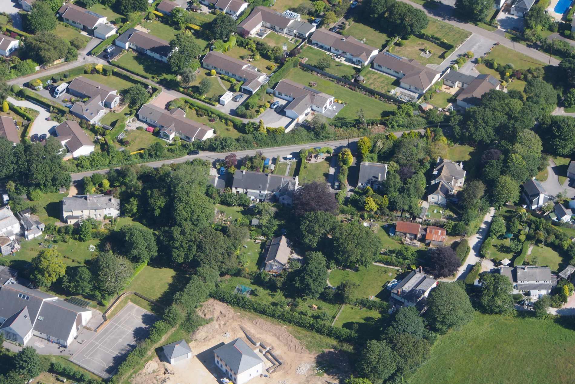
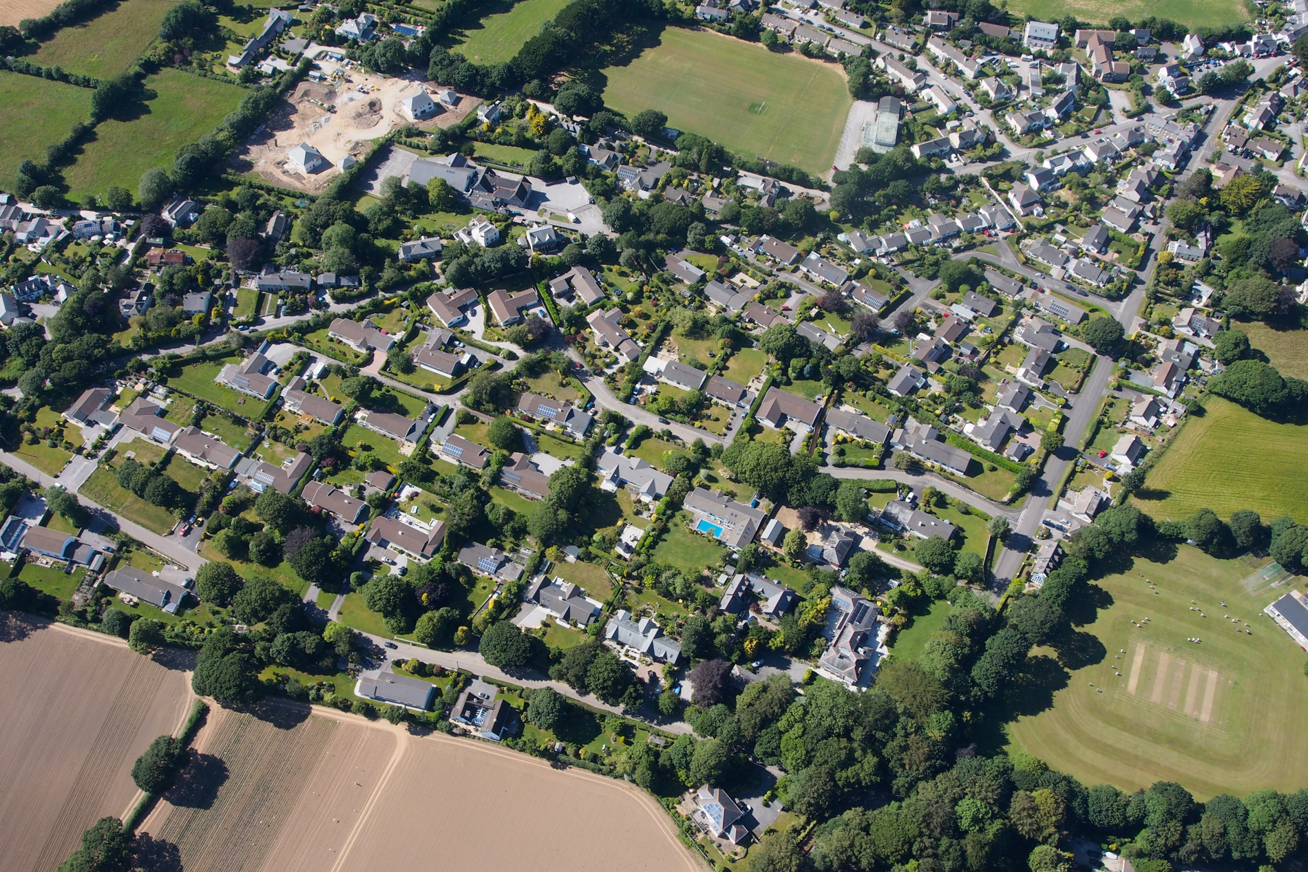
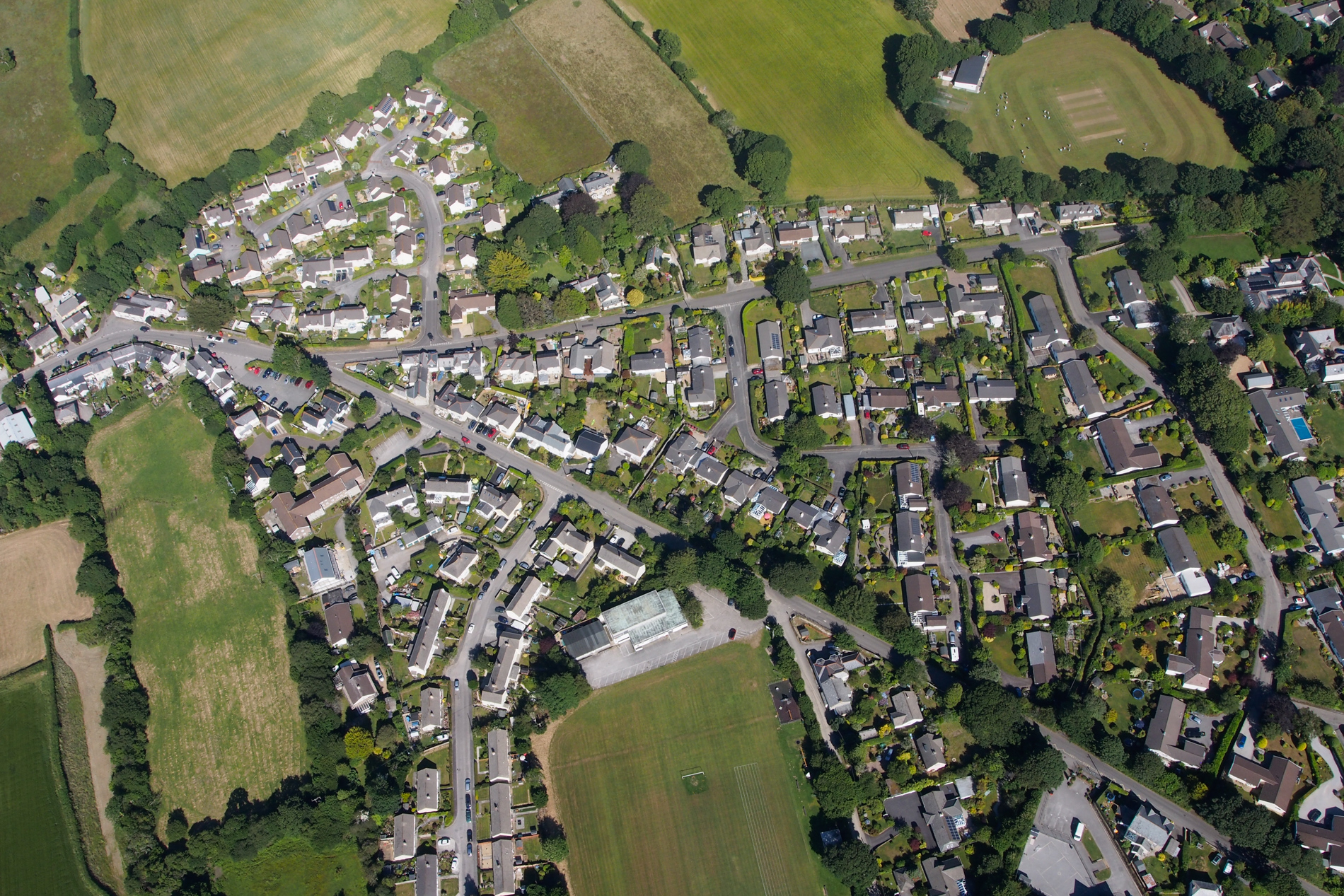
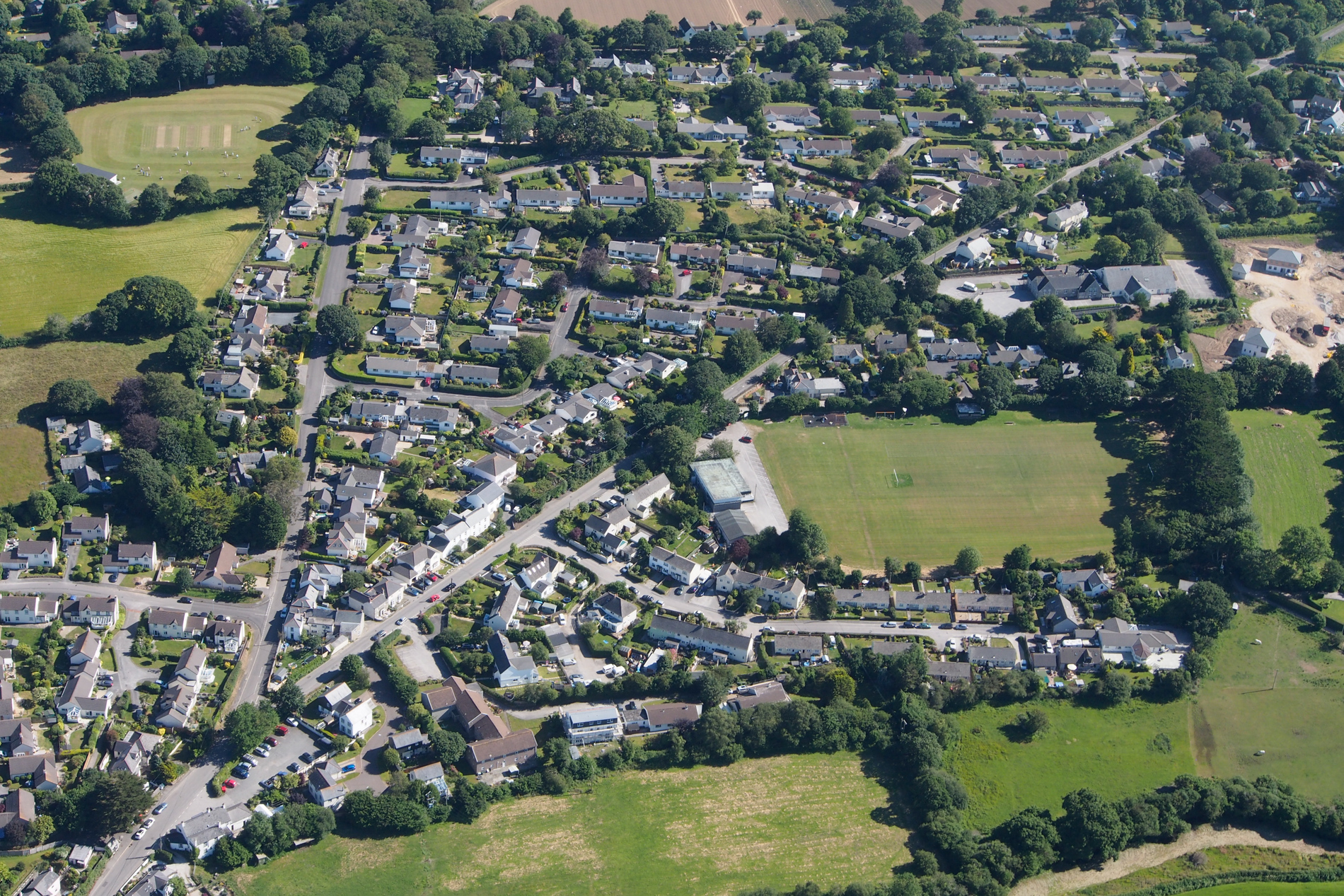
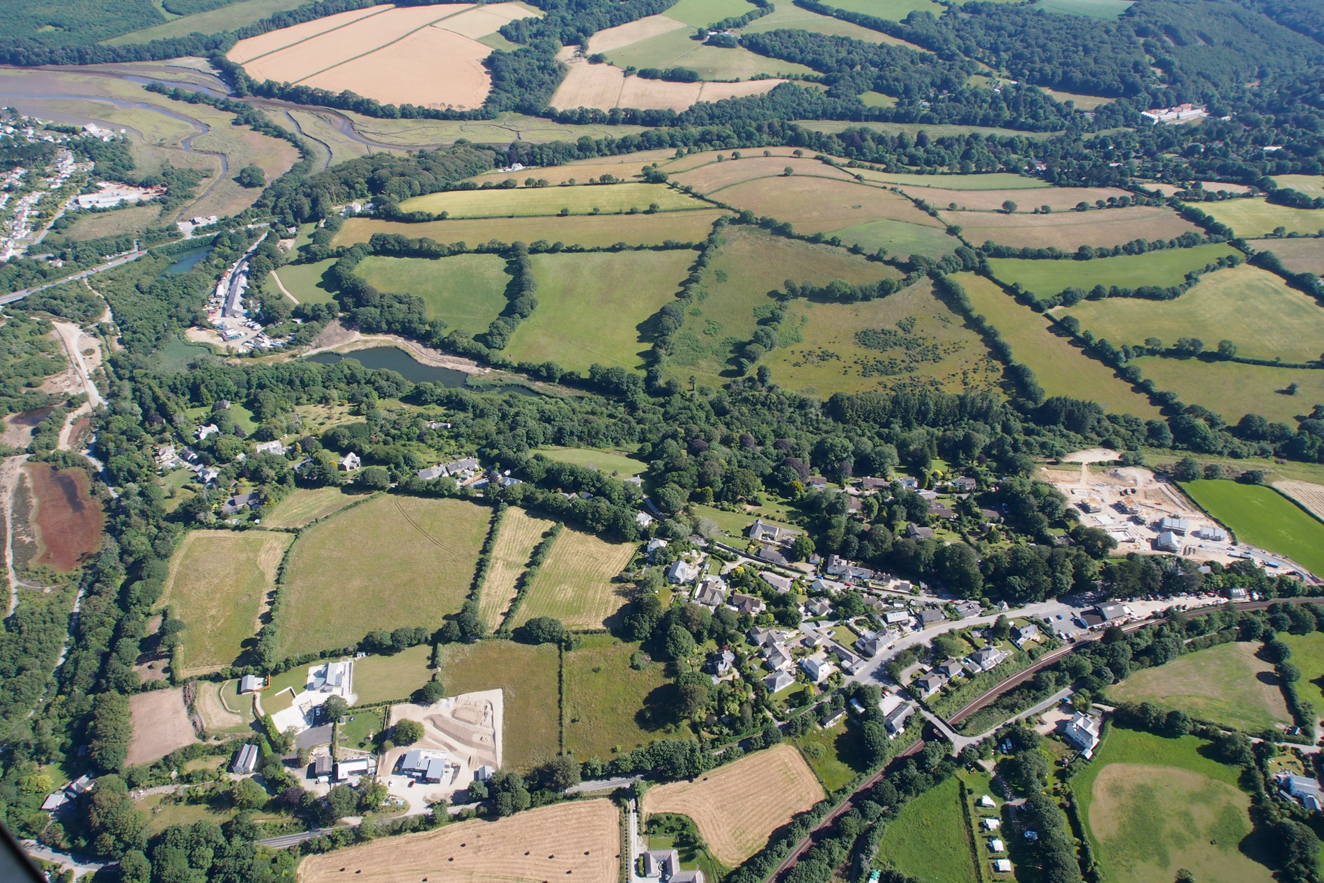
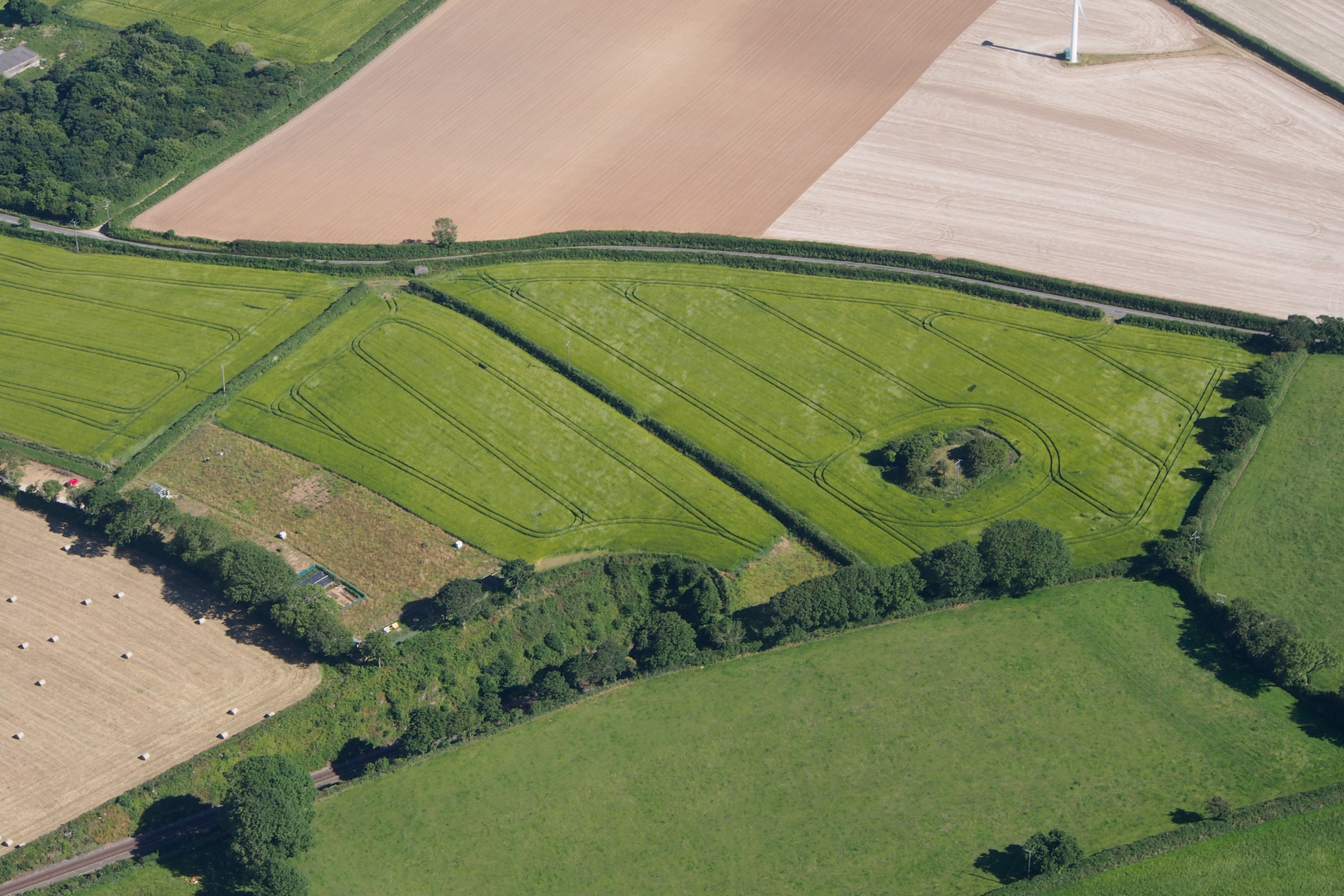
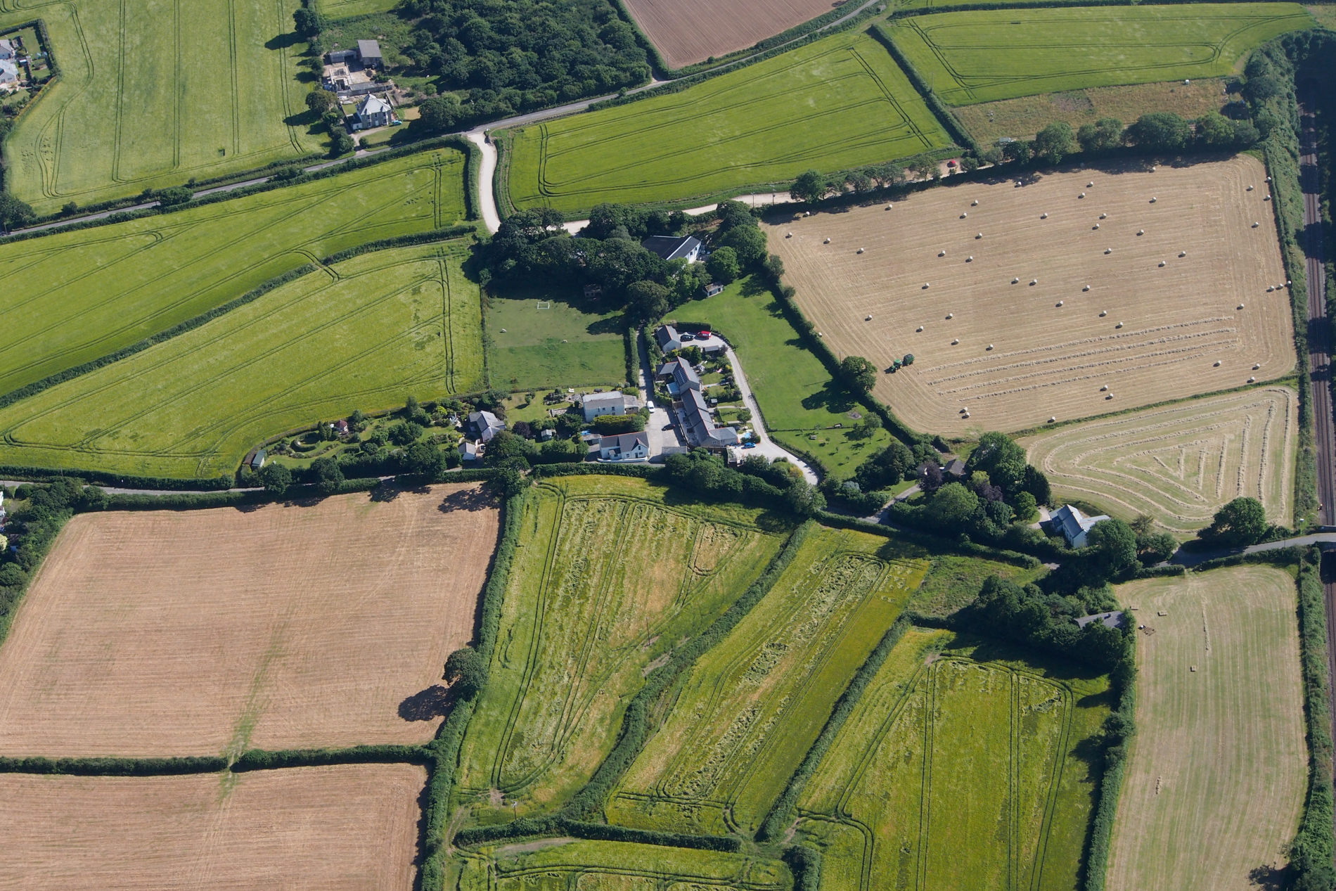
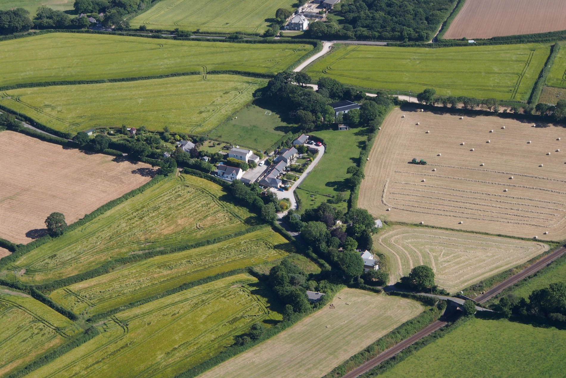
In July 2019 an aerial survey of the Parish was carried out to provide images for interpretation and use in the Historic Environment Assessment, the Local Landscape Character Assessment, and to aid in drawing up Development Boundaries.
You can access the photos by clicking on the following links, which are grouped according to the location map shown below. To zoom in, click on the photo to open the viewer, then right-click and select ‘open image in new tab’.
Note that all images are copyrighted and permission must be sought before they are used in any other form of publication or document.